Lavaud-Gelade Lake
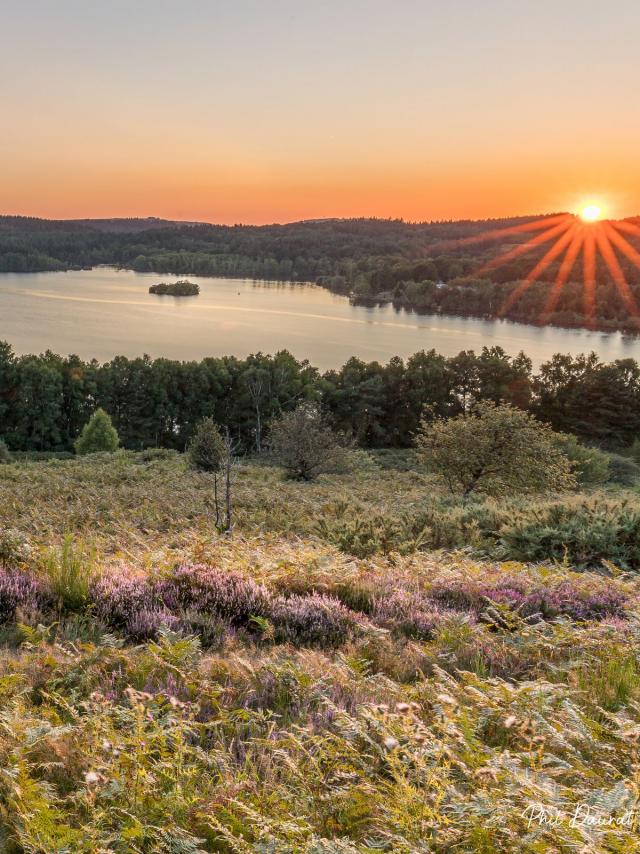
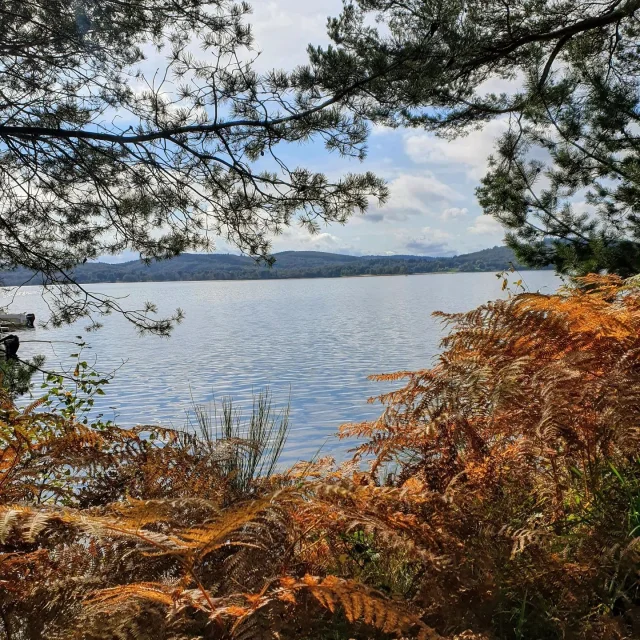
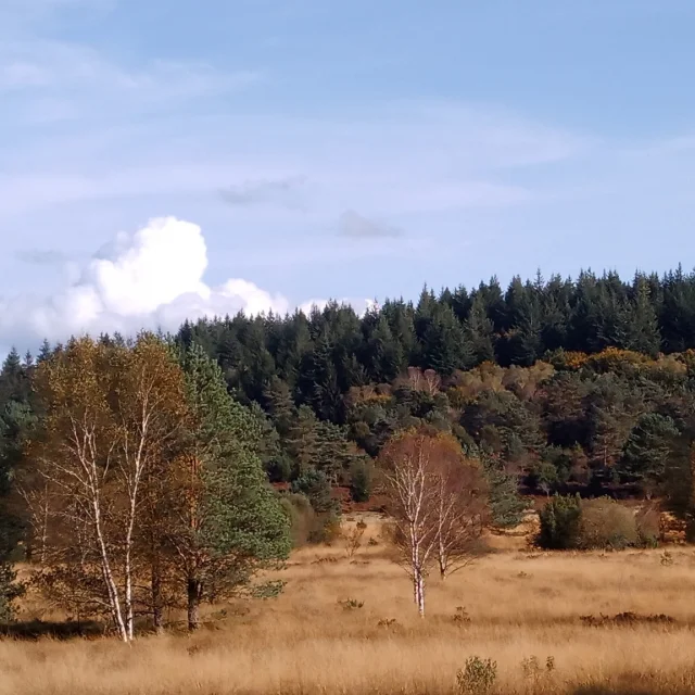
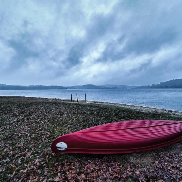
With an area of 285 hectares, this dam lake located on the communes of Royère-de-Vassivière, Saint-Marc-à-Loubaud and 285 hectares in size, this lake is situated near the towns of Royère-de-Vassivière, Saint-Marc-à-Loubaud and Gentioux-Pigerolles, is without doubt the wildest and most preserved. It offers a variety of landscapes with a remarquable Fauna and Flora with meadows, heaths, pine and deciduous forests. Very appreciated by the nature amateurs and fishermen, it offers a good fishing density with white fish, predatory fish (zander, pike, perch) and with cyprinid species.
The night carp fishing is open from the 1st of April to the 30th of November with 10 signposted posts on the left bank at the hamlet called “La Jarousse”.
Sailing is authorised (combustion and electric engine and float tube) but regulated.

The Mont Larron hill
In the heart of the Hills and Dams Land, in a natural valley lined with meadows and forests, the lake of Larron Hill Dam is at 400m in altitude, and is part of a succession of dams fed by the Maulde river. With its 70 hectares and a maximum depth of 50m, it offers a large fishing diversity : predatory fish (pike, zander, perch), white fish (roach, krasnoperka, tanch, bream) and cyprinid species.
The night carp fishing left bank area (accessed by the hamlet of Subertange, then St Julien le Petit) is authorised all year round.
Faux la Montagne
45 hectares in size, this dam lake is the continuity of the Creuse river. It is appreciated by the fishermen and wild nature amateurs for its diverse and rugged landscape. It has a good fishing density : white fish (roach, bream, krasnoperka), predatory fish (zander, pike, perch) and a large number of cyprinid species.
The night carp fishing is authorised from the 1st of April to the 30th of November with 12 signposted posts situated on the right bank of the dam.
Sailing is authorised (combustion and electric engines and float tube) but regulated.


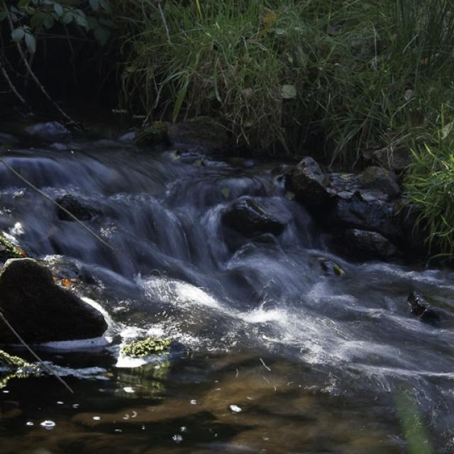

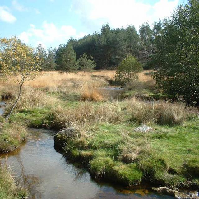
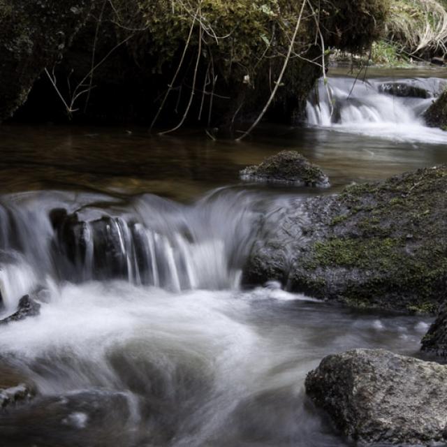
Rivers of the Millevaches plateau
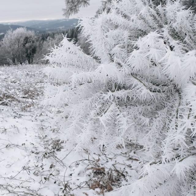
Perched at an altitude of 1000m, the plateau is granitic and made essentially of pit bogs, forests and meadows where a large number of streams are born. It offers a rich and preserved eco-system which will make the avid trout fishermen happy.
From your computer, tablet or smartphone, get access to the complete interactive fishing maps : fishing trails, fishing card sellers, fishing reserves, specific trails, fishing accomodations, etc…
Fishing guide-monitors
Still lacking a technique? Don’t worry, the fishing guide-monitors will share their expertise and knowledge of the lake.

![FCP [Drone 4K] - Lac de Lavaud-Gelade - Creuse](https://i.ytimg.com/vi_webp/Iti3Cl2Q2vM/maxresdefault.webp)
