

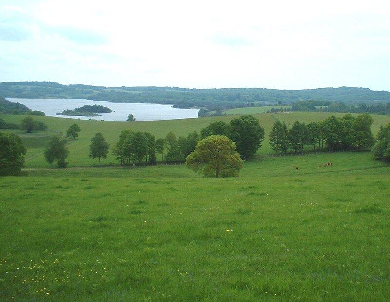
Tour du Lac de La vaud-Gelade
Walking, Natural
in Royère-de-Vassivière
23.2
km
Loop
on foot
6h
Hard
- Departure
- Royère-de-Vassivière
-
-
Difference in height
- 474.667 m
-
-
-
Documentation
- GPX / KML files allow you to export the trail of your hike to your GPS (or other navigation tool)
-
- 475 meters of difference in height
-
- Maximum altitude : 759 m
- Minimum altitude : 676 m
- Total positive elevation : 475 m
- Total negative elevation : -475 m
- Max positive elevation : 78 m
- Min positive elevation : -49 m
