

Sentier d'interprétation des pierres fades
Walking, Mountain bike, Natural
in Saint-Marc-à-Loubaud
-
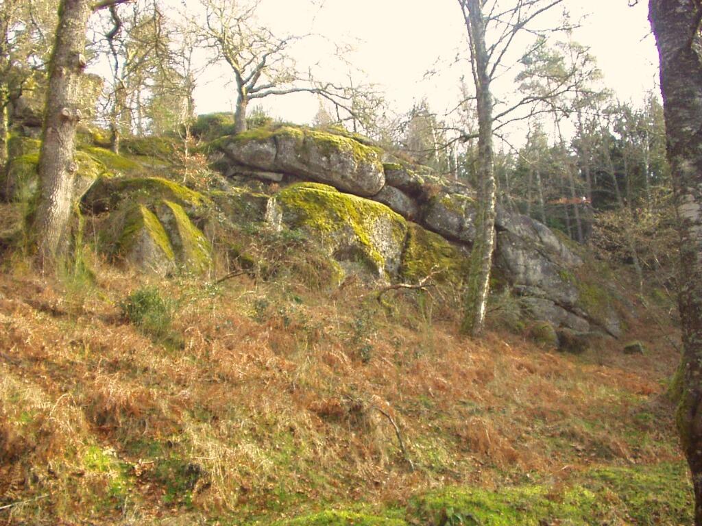
This trail takes in the rocky chaos of the Pierres Fades and the traditional organization of a village through the example of Chertrain. The natural and built heritage along the way enables you to understand the relationship between man and his environment, and to observe the changes that have transformed the face of the countryside.
Trail starts in the village of Chertrain. Trail 3 kilometers long, approx. 1h30 walking time. Guide booklet available from the Saint Marc à Loubaud town hall,...This trail takes in the rocky chaos of the Pierres Fades and the traditional organization of a village through the example of Chertrain. The natural and built heritage along the way enables you to understand the relationship between man and his environment, and to observe the changes that have transformed the face of the countryside.
Trail starts in the village of Chertrain. Trail 3 kilometers long, approx. 1h30 walking time. Guide booklet available from the Saint Marc à Loubaud town hall, the Maison du PNR or the Felletin and Aubusson Tourist Office.
- Departure
- Saint-Marc-à-Loubaud
-
-
Difference in height
- 49.3333 m
-
-
-
-
-
Documentation
-
- Topo-ficheRando_1
- SENTIER D'INTERPRÉTATION DES PIERRES FADES
- SENTIER D'INTERPRÉTATION DES PIERRES FADES
-

- 49 meters of difference in height
-
- Maximum altitude : 733 m
- Minimum altitude : 671 m
- Total positive elevation : 49 m
- Total negative elevation : -49 m
- Max positive elevation : 35 m
- Min positive elevation : -1 m
