

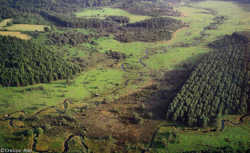
Sentier de découverte des landes et tourbières de la Mazure : Grande boucle
Walking
in Royère-de-Vassivière
7.1
km
Loop
on foot
3h
Medium
- Departure
- Royère-de-Vassivière
-
-
Difference in height
- 108.333 m
-
-
-
Documentation
- GPX / KML files allow you to export the trail of your hike to your GPS (or other navigation tool)
-
- 108 meters of difference in height
-
- Maximum altitude : 681 m
- Minimum altitude : 633 m
- Total positive elevation : 108 m
- Total negative elevation : -108 m
- Max positive elevation : 25 m
- Min positive elevation : -28 m
