

Circuit VTT n°37 Le Camp de César
Mountain bike
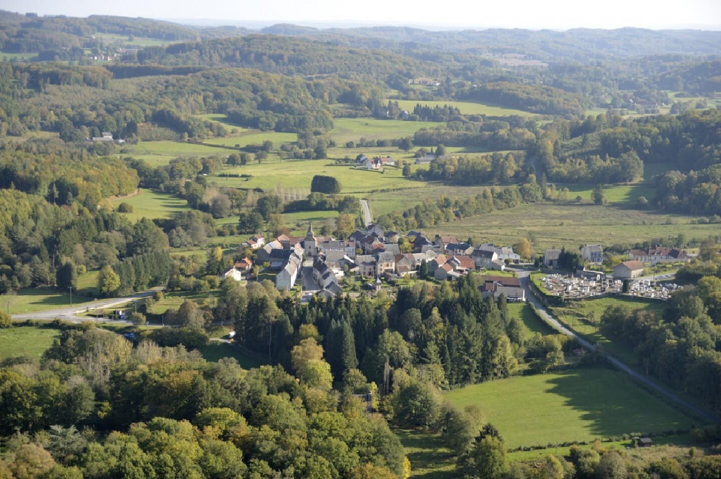
in La Chapelle-Taillefert
18.4
km
Loop
by mountain bike
2h
Hard
- Departure
- La Chapelle-Taillefert
-
-
Difference in height
- 557.333 m
-
-
-
Documentation
- GPX / KML files allow you to export the trail of your hike to your GPS (or other navigation tool)
-
- 557 meters of difference in height
-
- Maximum altitude : 667 m
- Minimum altitude : 459 m
- Total positive elevation : 557 m
- Total negative elevation : -557 m
- Max positive elevation : 96 m
- Min positive elevation : -109 m
