

Circuit VTT n°33 Le Bois de Montbut
Mountain bike
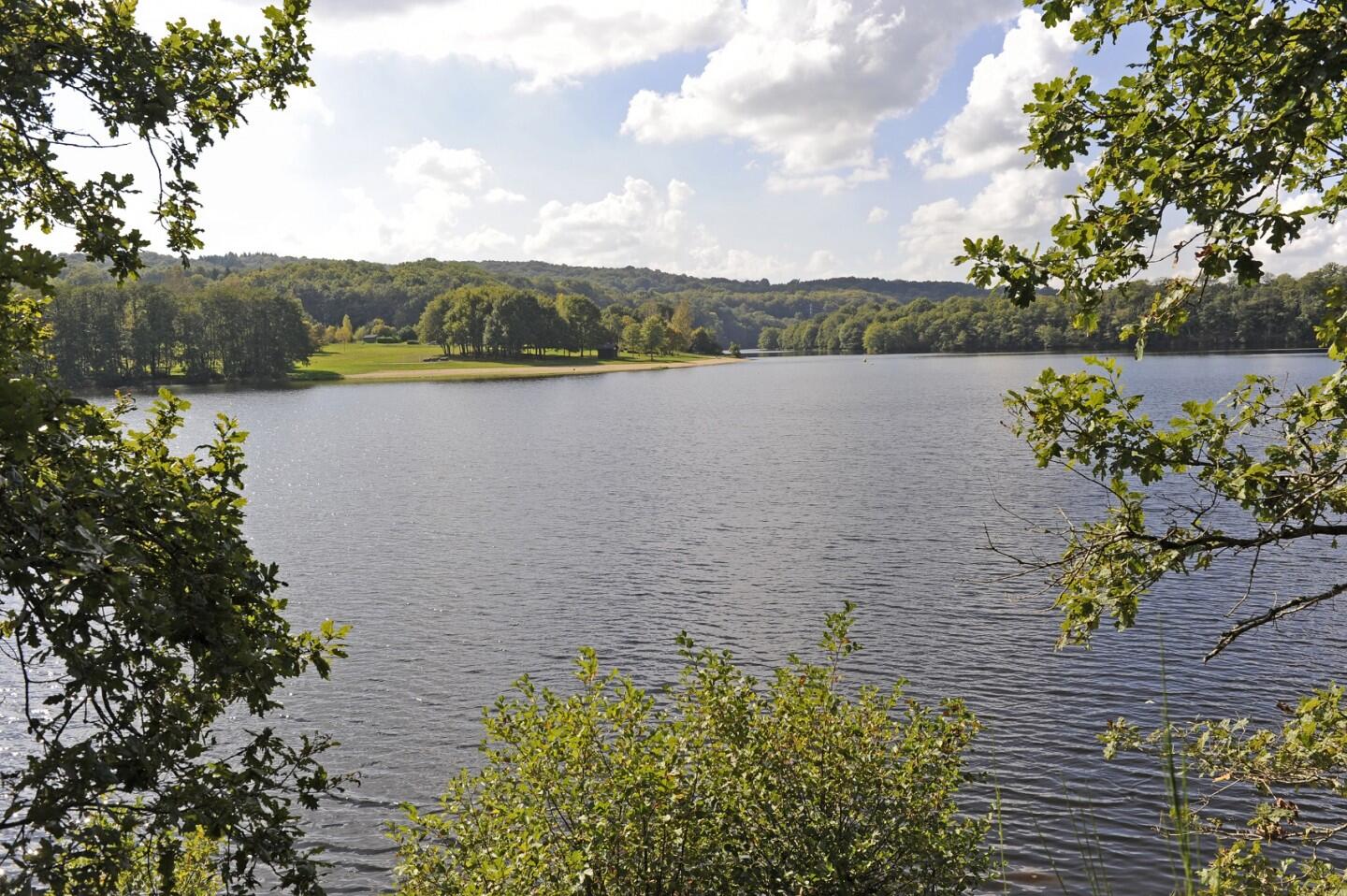
in Anzême
- Departure
- Anzême
-
-
Difference in height
- 169.333 m
-
-
-
Documentation
- GPX / KML files allow you to export the trail of your hike to your GPS (or other navigation tool)
-
- 169 meters of difference in height
-
- Maximum altitude : 427 m
- Minimum altitude : 322 m
- Total positive elevation : 169 m
- Total negative elevation : -169 m
- Max positive elevation : 62 m
- Min positive elevation : -50 m
