

Circuit VTT n°28
Mountain bike
in Dun-le-Palestel
15.9
km
by mountain bike
1h 15min
Hard
-
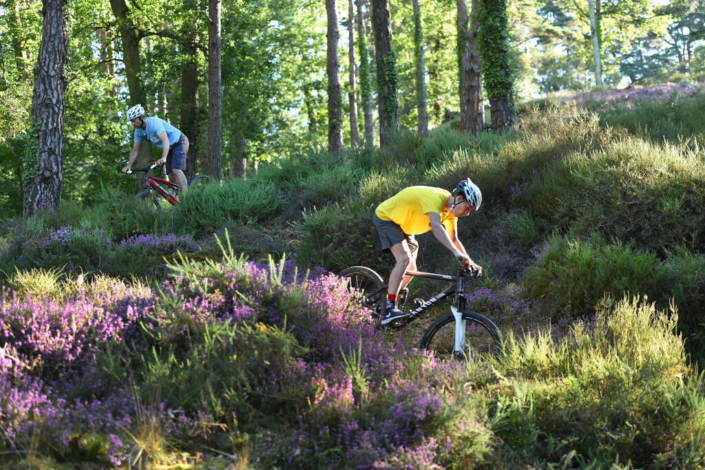
Departure from Place du Champ de Foire, Dun le Palestel. The start from the town center is a pleasant warm-up, before tackling the Chabannes woods, where the climb is not very technical, but physical. The return journey is pleasant, but beware of the damp area after Teilloux.
- Departure
- Dun-le-Palestel
-
-
Difference in height
- 315 m
-
-
-
Documentation
- GPX / KML files allow you to export the trail of your hike to your GPS (or other navigation tool)
-
- 315 meters of difference in height
-
- Maximum altitude : 554 m
- Minimum altitude : 335 m
- Total positive elevation : 315 m
- Total negative elevation : -315 m
- Max positive elevation : 74 m
- Min positive elevation : -128 m
