

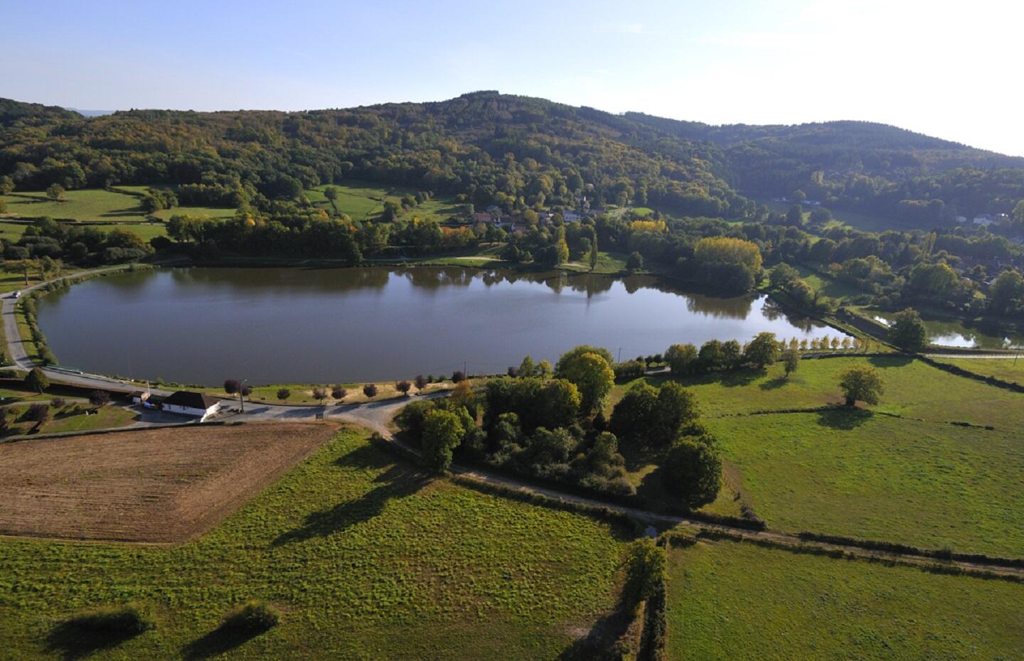
Circuit VTT n°26 L'étang de la Vergne
Mountain bike
in Bussière-Dunoise
12.5
km
Loop
by mountain bike
1h
Easy
- Departure
- Bussière-Dunoise
-
-
Difference in height
- 177.333 m
-
-
-
Documentation
- GPX / KML files allow you to export the trail of your hike to your GPS (or other navigation tool)
-
- 177 meters of difference in height
-
- Maximum altitude : 451 m
- Minimum altitude : 369 m
- Total positive elevation : 177 m
- Total negative elevation : -177 m
- Max positive elevation : 69 m
- Min positive elevation : -50 m
