

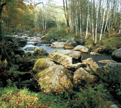
Circuit pédestre n°M03 Leychameau
Walking
in Mourioux-Vieilleville
8.0
km
Loop
on foot
2h
Easy
-
From the church, take the D50 towards Arrènes. After the road to Védrenne take the path on the left to go straight up to the road to Bord (1.8km in the forest). There turn left and immediately right to go to Leychameau by the road. When you arrive in the village, take the street in front of you, turning left, then go down the street on the right. At 900m a track goes up to the left. At the top, turn left onto the D44 and then left again onto a track that goes straight down to Mourioux after...
From the church, take the D50 towards Arrènes. After the road to Védrenne take the path on the left to go straight up to the road to Bord (1.8km in the forest). There turn left and immediately right to go to Leychameau by the road. When you arrive in the village, take the street in front of you, turning left, then go down the street on the right. At 900m a track goes up to the left. At the top, turn left onto the D44 and then left again onto a track that goes straight down to Mourioux after crossing a small road.
- Departure
- Mourioux-Vieilleville
-
-
Difference in height
- 194.489 m
-
-
-
Documentation
- GPX / KML files allow you to export the trail of your hike to your GPS (or other navigation tool)
-
- 194 meters of difference in height
-
- Maximum altitude : 520 m
- Minimum altitude : 407 m
- Total positive elevation : 194 m
- Total negative elevation : -193 m
- Max positive elevation : 55 m
- Min positive elevation : -80 m
