

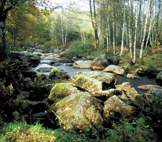
Circuit pédestre n°FC4 Dans les bois de Chabannes
Walking
in Fursac
15.2
km
Loop
on foot
4h 30min
Hard
- Departure
- Fursac
-
-
Difference in height
- 202.333 m
-
-
-
Documentation
- GPX / KML files allow you to export the trail of your hike to your GPS (or other navigation tool)
-
- 202 meters of difference in height
-
- Maximum altitude : 430 m
- Minimum altitude : 315 m
- Total positive elevation : 202 m
- Total negative elevation : -202 m
- Max positive elevation : 33 m
- Min positive elevation : -68 m
