

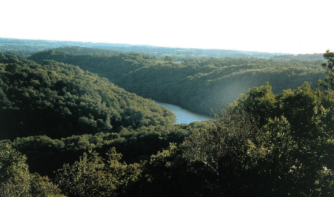
Circuit Pédestre N°CM9 Les gorges du Thaurion
Walking
in Châtelus-le-Marcheix
15.5
km
Loop
on foot
5h
Easy
- Departure
- Châtelus-le-Marcheix
-
-
Difference in height
- 473.951 m
-
-
-
Documentation
- GPX / KML files allow you to export the trail of your hike to your GPS (or other navigation tool)
-
- 474 meters of difference in height
-
- Maximum altitude : 637 m
- Minimum altitude : 373 m
- Total positive elevation : 474 m
- Total negative elevation : -469 m
- Max positive elevation : 180 m
- Min positive elevation : -147 m