

Circuit pédestre : Les Moulins
Walking
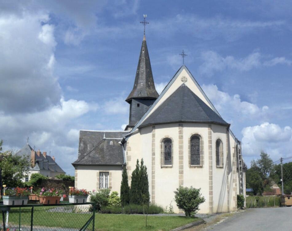
in Linard
17.0
km
Loop
on foot
4h
Medium
-
The Fayolle stream crosses the commune on both sides before flowing into the Petite Creuse river, which runs along the lower part of the commune, and has preserved its flora and fauna virtually intact.
Follow the paths, particularly the Gallo-Roman road, and you'll be able to contemplate the beautiful, green, undulating countryside with its bucolic, soothing landscapes.
The commune wishes you a pleasant stroll.
- Departure
- Linard
-
-
Difference in height
- 294.333 m
-
-
-
Documentation
- GPX / KML files allow you to export the trail of your hike to your GPS (or other navigation tool)
-
- 294 meters of difference in height
-
- Maximum altitude : 373 m
- Minimum altitude : 257 m
- Total positive elevation : 294 m
- Total negative elevation : -294 m
- Max positive elevation : 49 m
- Min positive elevation : -72 m