

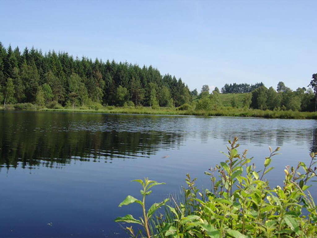
Circuit du lac de Faux
Walking, Mountain bike, Natural
in Faux-la-Montagne
- Departure
- Faux-la-Montagne
-
-
Difference in height
- 115 m
-
-
-
Documentation
- GPX / KML files allow you to export the trail of your hike to your GPS (or other navigation tool)
-
- 115 meters of difference in height
-
- Maximum altitude : 733 m
- Minimum altitude : 704 m
- Total positive elevation : 115 m
- Total negative elevation : -115 m
- Max positive elevation : 22 m
- Min positive elevation : -21 m
