

Circuit des éoliennes
Walking, Natural
in Chambonchard
9.1
km
Loop
on foot
2h
Medium
-
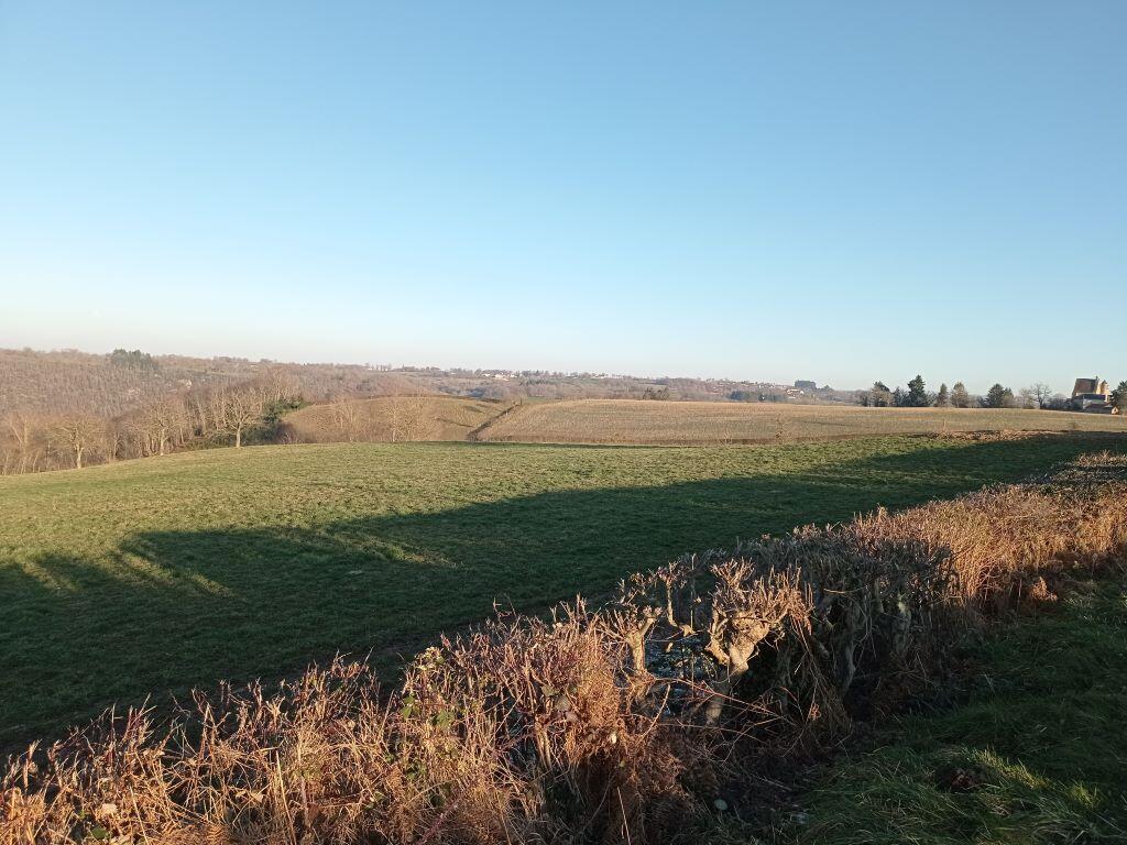
On the heights, after a succession of panoramic views over the Auvergne, you'll discover the 13th-century Château du Ligondeix, before plunging into the forest towards the Cher, the natural boundary between the Limousin and Auvergne regions. Back on the plateau, you'll encounter modern agriculture, and wind turbines rising to a height of almost 150 metres. This tour is part of the Guide Rando Evaux-Chambon, available from local tourist offices.
- Departure
- Chambonchard
-
-
Difference in height
- 177.667 m
-
-
-
Documentation
- GPX / KML files allow you to export the trail of your hike to your GPS (or other navigation tool)
-
- 178 meters of difference in height
-
- Maximum altitude : 515 m
- Minimum altitude : 366 m
- Total positive elevation : 178 m
- Total negative elevation : -178 m
- Max positive elevation : 116 m
- Min positive elevation : -88 m