

Circuit de randonnée pédestre n° 25 Le Theil
Walking
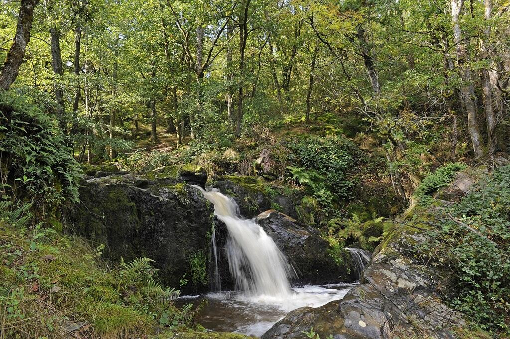
in Anzême
11.3
km
Loop
on foot
2h 30min
Hard
- Departure
- Anzême
-
-
Difference in height
- 211.333 m
-
-
-
Documentation
- GPX / KML files allow you to export the trail of your hike to your GPS (or other navigation tool)
-
- 211 meters of difference in height
-
- Maximum altitude : 388 m
- Minimum altitude : 284 m
- Total positive elevation : 211 m
- Total negative elevation : -211 m
- Max positive elevation : 36 m
- Min positive elevation : -66 m
