

Circuit de randonnée pédestre n° 11 Le chemin des Vergnes
Walking, Natural
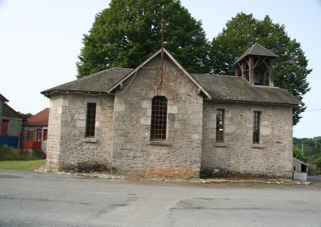
in Savennes
- Departure
- Savennes
-
-
Difference in height
- 241.667 m
-
-
-
-
-
Documentation
- GPX / KML files allow you to export the trail of your hike to your GPS (or other navigation tool)
-

- 242 meters of difference in height
-
- Maximum altitude : 670 m
- Minimum altitude : 544 m
- Total positive elevation : 242 m
- Total negative elevation : -242 m
- Max positive elevation : 76 m
- Min positive elevation : -90 m
