

Circuit de randonnée : De Nature et d'Eau
Walking
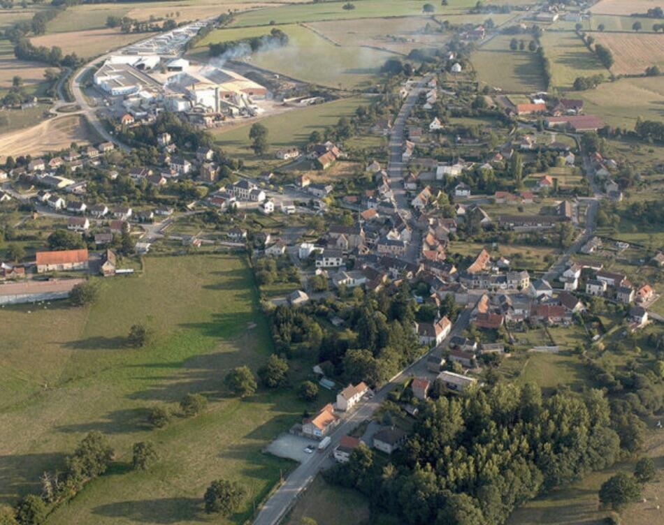
in Genouillac
13.9
km
Loop
on foot
3h 30min
Medium
- Departure
- Genouillac
-
-
Difference in height
- 175.333 m
-
-
-
Documentation
- GPX / KML files allow you to export the trail of your hike to your GPS (or other navigation tool)
-
- 175 meters of difference in height
-
- Maximum altitude : 327 m
- Minimum altitude : 270 m
- Total positive elevation : 175 m
- Total negative elevation : -175 m
- Max positive elevation : 43 m
- Min positive elevation : -24 m