

Circuit de randonnée : De la Chrétienneté à la seigneurie
Walking, Historical
in Linard
4.0
km
Loop
on foot
1h
Easy
-
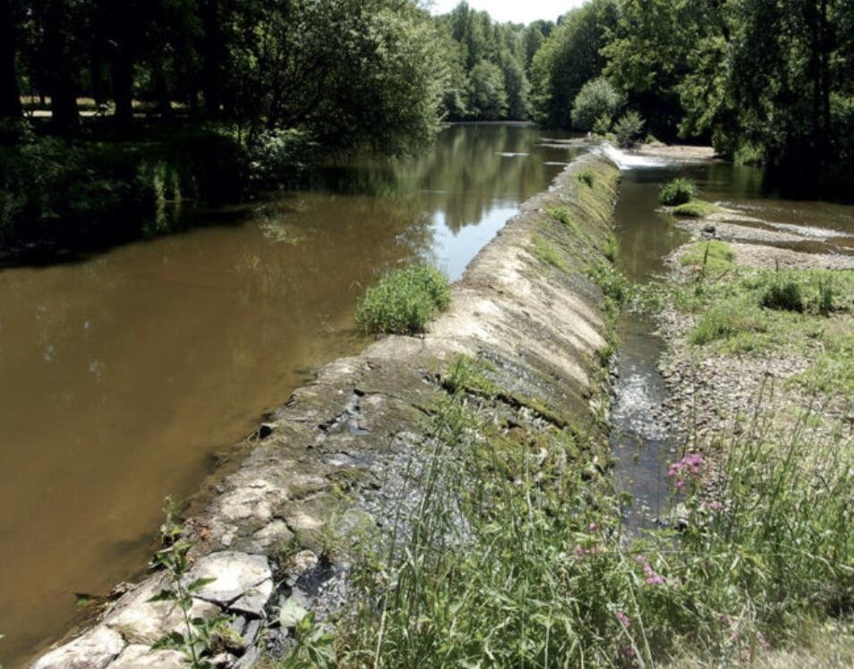
It is separated from the river by a steep ravine through which flows the small Châtrains stream.
This ravine, Malla Vallis, meaning "Bad Valley", was so named because a horseman is said to have fallen to his death on its rocks. Malla Vallis to the priory and then to the alpine village built on its banks.
The priory of Malval was founded in 1038. The Malval family was not mentioned until a century later, when the abbey of Prébenoît was founded in the parish of Bétête in 1140.
In the...It is separated from the river by a steep ravine through which flows the small Châtrains stream.
This ravine, Malla Vallis, meaning "Bad Valley", was so named because a horseman is said to have fallen to his death on its rocks. Malla Vallis to the priory and then to the alpine village built on its banks.
The priory of Malval was founded in 1038. The Malval family was not mentioned until a century later, when the abbey of Prébenoît was founded in the parish of Bétête in 1140.
In the village, you'll discover several houses adorned with stone carvings (coats of arms, figures, etc.), probably salvaged from the site of the castle or priory.
- Departure
- Linard
-
-
Difference in height
- 72.3333 m
-
-
-
Documentation
-
- 10_PORTES-DE-LA-CREUSE_FICHE_MALVAL.pdf_1
- Circuit de randonnée : De la Chrétienneté à la seigneurie
- Circuit de randonnée : De la Chrétienneté à la seigneurie
-
- 72 meters of difference in height
-
- Maximum altitude : 324 m
- Minimum altitude : 255 m
- Total positive elevation : 72 m
- Total negative elevation : -72 m
- Max positive elevation : 29 m
- Min positive elevation : -68 m