

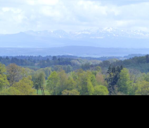
Circuit de randonnée : Chemin des Crêtes
Walking, Natural
in Lioux-les-Monges
14.2
km
Loop
on foot
5h
Medium
-
Start: Chemin du Barbadet
Marking: red
- Departure
- Lioux-les-Monges
-
-
Difference in height
- 341.067 m
-
-
-
Documentation
- GPX / KML files allow you to export the trail of your hike to your GPS (or other navigation tool)
-
- 341 meters of difference in height
-
- Maximum altitude : 767 m
- Minimum altitude : 633 m
- Total positive elevation : 341 m
- Total negative elevation : -335 m
- Max positive elevation : 73 m
- Min positive elevation : -62 m
