

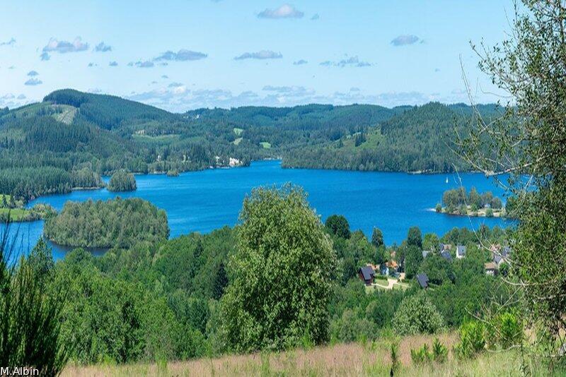
Circuit de Nergout
Walking, Natural
in Beaumont-du-Lac
5.9
km
Loop
on foot
1h 10min
Easy
- Departure
- Beaumont-du-Lac
-
-
Difference in height
- 149.667 m
-
-
-
Documentation
- GPX / KML files allow you to export the trail of your hike to your GPS (or other navigation tool)
-
- 150 meters of difference in height
-
- Maximum altitude : 776 m
- Minimum altitude : 649 m
- Total positive elevation : 150 m
- Total negative elevation : -150 m
- Max positive elevation : 93 m
- Min positive elevation : -113 m
