

Circuit de Montbardoux
Walking, Natural
in Budelière
8.7
km
Loop
on foot
2h
Easy
-
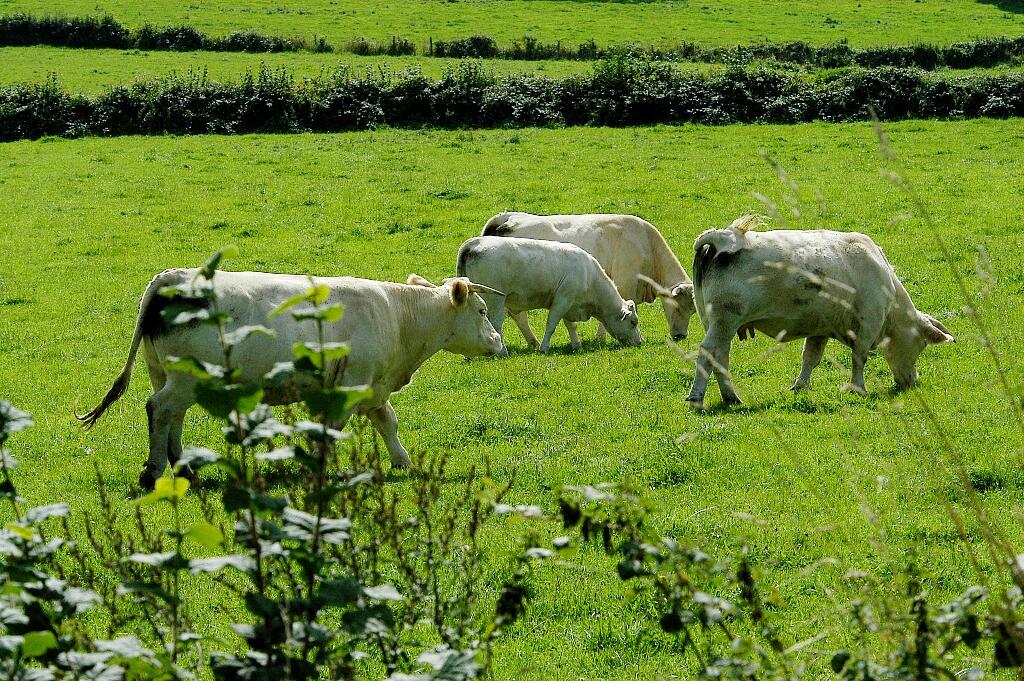
A circuit for walkers which encircles the village of Budelière and allows you to discover the local agricultural environment, divided between cultivation and breeding, between large areas of easy exploitation and small traditional plots surrounded by living hedges.
- Departure
- Budelière
-
-
Difference in height
- 63 m
-
-
-
Documentation
- GPX / KML files allow you to export the trail of your hike to your GPS (or other navigation tool)
-
- 63 meters of difference in height
-
- Maximum altitude : 438 m
- Minimum altitude : 390 m
- Total positive elevation : 63 m
- Total negative elevation : -63 m
- Max positive elevation : 17 m
- Min positive elevation : -29 m