

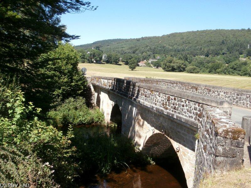
Circuit de Chaud
Walking, Natural
in Nedde
16.6
km
Loop
on foot
4h
Medium
- Departure
- Nedde
-
-
Difference in height
- 505.667 m
-
-
-
Documentation
- GPX / KML files allow you to export the trail of your hike to your GPS (or other navigation tool)
-
- 506 meters of difference in height
-
- Maximum altitude : 751 m
- Minimum altitude : 487 m
- Total positive elevation : 506 m
- Total negative elevation : -506 m
- Max positive elevation : 71 m
- Min positive elevation : -93 m
